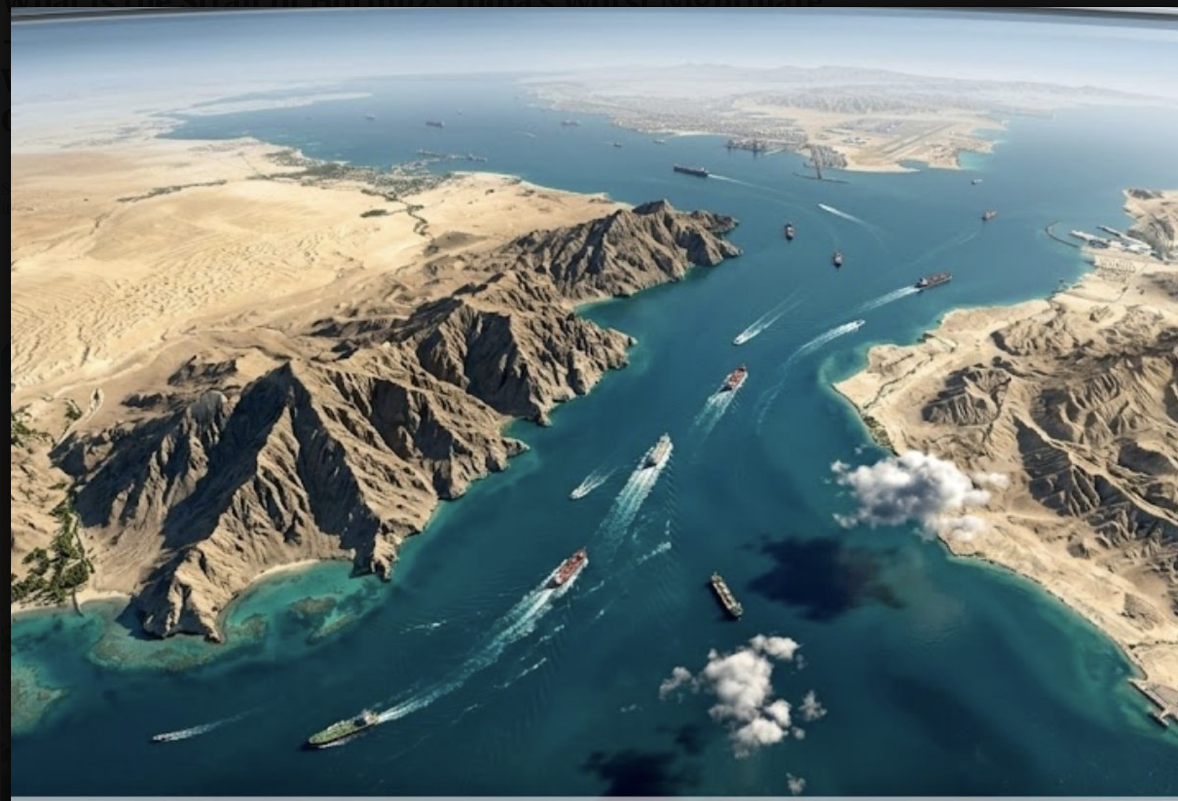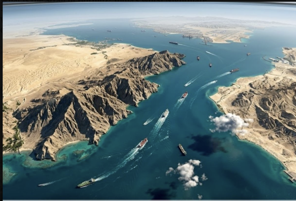
1) The geometry that matters: the strait is wide on paper, tight in practice
At the narrowest point, Hormuz is around 21 miles wide, but that headline number is misleading for operational risk. The “usable corridor” for deep-draft commercial traffic is constrained by routing discipline (collision avoidance), navigation limits, and security posture.
The practical backbone is the TSS:
• Inbound lane: ~2 miles wide
• Outbound lane: ~2 miles wide
• Separation (buffer) zone: ~2 miles wide
This produces a narrow, predictable conveyor belt — exactly what raises sensitivity to mining, harassment, or even a short-term disruption.
⸻
2) Sovereignty: why there is almost no “neutral water” at the chokepoint
Both littoral states have codified 12-nautical-mile territorial seas:
• Iran: its 1993 marine areas act specifies a 12-nm territorial sea measured from baselines.
• Oman: U.S. State Department’s Limits in the Seas (LIS) on Oman notes the territorial sea extends 12 nm.
When a strait is around 21 nm wide at its narrowest, two 12-nm territorial seas effectively “close” the gap: ships transiting the strait pass through Iranian and Omani territorial waters, not high seas, even though the route is used for international navigation.
⸻
3) The legal regime: transit passage and the non-impediment rule
Under UNCLOS Part III (straits used for international navigation), states bordering straits shall not hamper transit passage and must publicise dangers to navigation.
Complication: Iran has signed but not ratified UNCLOS and has historically argued for a narrower navigation regime than full transit passage in Hormuz, which is why legal debate resurfaces whenever tensions rise.
Operationally, however, shipping insurers, flag states, and navies tend to behave as if the strait functions under the international-strait logic — because global commerce cannot price a chokepoint as “optional.”
⸻
4) Where ships actually go — and why the “Oman side” matters
In day-to-day practice, commercial traffic aims to remain inside the managed lanes, and when threat levels rise, ship operators often prefer routing that minimises proximity to Iranian coastal assets while staying compliant with navigational safety. The key point for escalation math is this: if the main managed route hugs one side at the chokepoint, threats against it can be interpreted as coercion affecting traffic that is operating inside another state’s territorial envelope.
This is why “closing Hormuz” is rarely a clean bilateral act. It rapidly becomes a multi-party crisis involving coastal sovereignty, international navigation rules, insurers, and naval escorts.
⸻
5) What “closure” would look like in reality
A full physical closure is hard to sustain; disruption is easier and often sufficient:
• Mining and mine-risk warnings can spike insurance and halt traffic even before a single ship is hit.
• Targeting or threatening the narrow lanes creates an immediate bottleneck because traffic cannot safely fan out.
⸻
What to watch next
Three high-signal indicators that the risk is translating into operational disruption:
1.War-risk premiums and underwriter advisories (insurance market reaction).
2.AIS track changes: bunching, holding patterns, re-routing.
3.Formal navigation warnings and any public move toward convoys or naval screening.
⸻
Sources
• UN DOALOS — Iran 1993 Marine Areas Act (12-nm territorial sea).
• U.S. State Dept (LIS 61) — Oman territorial sea extends 12 nm.
• UNCLOS Part III — Article 44 duties: not to hamper transit passage.
• ASIL Insight + EJIL:Talk — Iran signed but did not ratify UNCLOS; navigation regime debate.
• Financial Times analysis — operational vulnerability and “two-mile navigable lane” at parts of the transit.
• S&P Global (market/traffic impact context).